PI: Li Zhe
Keywords:
Traditional Village; 3D Data Acquisition; Computation with PointCloud; Spatial Data Extraction; Trans-regional Comparison


Abstract:
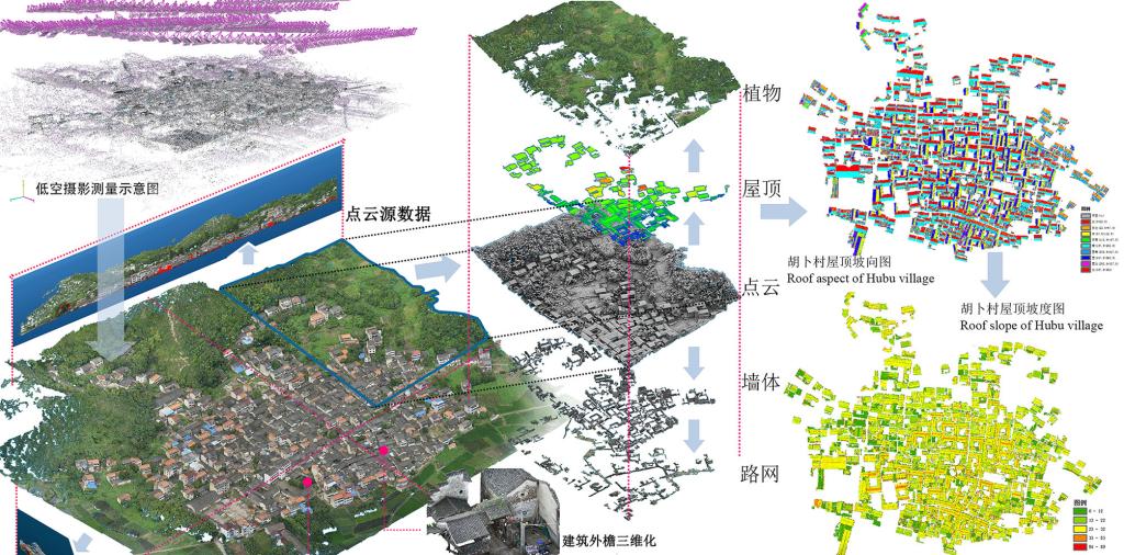
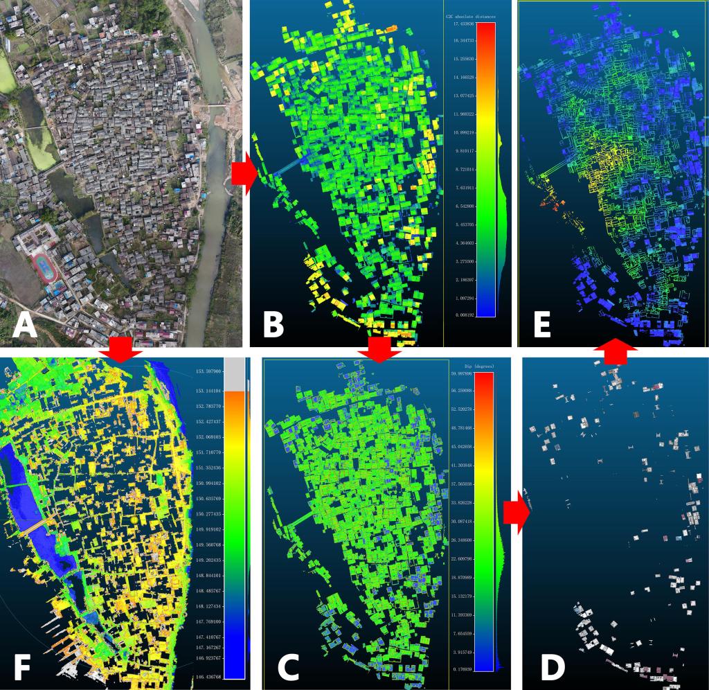
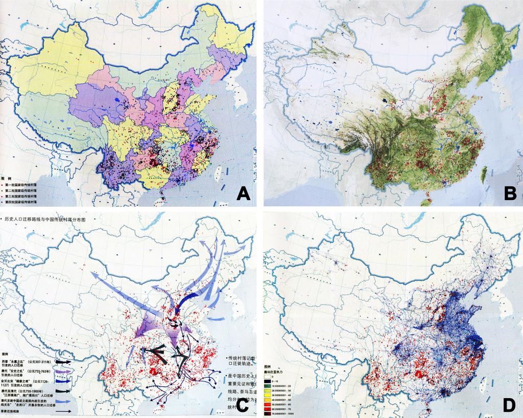
The three levels of spatial feature indexes statistics -- folk dwellings, street and alley together with terrain, are the common groundwork in various researches of traditional village. However, distinguished from official architecture, in traditional villages, extensive folk buildings, winding streets with twists and turns as well as rugged terrain cause great difficulties and inefficiency to spatial index statistics. At present, as there are already about 6000 national level traditional villages in China, the current working pattern---Field measurement-->Manual tracing-->One-by-one statistics-->Multi-village comparison---which occupies excessive precious resources has become the bottleneck of researches on traditional villages. This project is about building a relatively complete three-dimensional computing work chain for spatial features, based on a novel 3D point cloud direct calculation technique and supplemented with other known computing means, such as GIS, spatial syntax, etc., aiming to obtain abundant approximate calculation results of village spatial indexes in a semi-automatic and efficient way without tracing. Thereby, not only meet needs in the progress of village field surveys but deeply and widely satisfy the requirements of comparative studies among multiple villages across regions. In order to verify the accuracy and reliability of the method, those approximate calculation results mentioned above will be compared with both artificial actuarial values and subjective feeling in the field. In addition, an exemplary study will be done from three aspects of traditional village which are folk dwelling’s styles, street and alley identification, location environment in order to test the practical effect of obtained spatial estimate indexes, and meanwhile try to quantify and visualize inherent wisdom of space contained in Chinese traditional villages.
