PI: Li Yan
Keywords:
the Great Wall; defense system; spatial relation; time-spatial; visualization

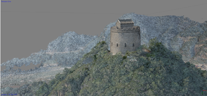
Fig.1 3D point cloud of the smoke pier on the back of Huangyaguan (2015)

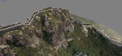
Fig.2 Shanhaiguan upside down the Great Wall 3D point cloud (2015)

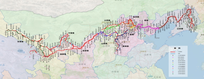
Fig.3 Ming Great Wall Military Settlement Space Database
Abstract:
The Great Wall defensive system is a geo-scale space remnant composed of the Great Wall, military settlements and beacons-postal system. There is a hierarchical system and dependence on mutual aid among military settlements. beacons-postal system is a "bloodline" between the Great Wall and the military settlements. However, the overall understanding of the defense system has not been fully revealed for a long time. This project intends to carry out the research on the system relationship of the defense system, and construction of the spatial and temporal visualization information platform. Through the study of the constituent elements and the overall structure, the overall spatial layout of the defense system is ascertained; through the study of the relationship between the defense system and the external environment, the historical evolution of the defense system is sorted out; the system relationships, collaborative defense modes, and internal mechanisms of the defense system are revealed through GIS spatial analysis. Through the establishment of a space-time visual information platform, the restoration and visualization of the overall space-time layout of the defense system supports the dynamic display of spatial relationships among defense areas at towns, roads, and forts. This topic provides intellectual support for the delimitation of the protection scope, value assessment, territorial management, and display and utilization in the protection plan, and promotes the authenticity, integrity, and systemic research of the Great Wall World Cultural Heritage to a more in-depth level.
